TL;DR:
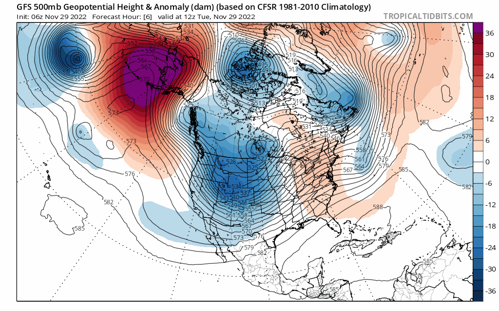
With substantial snow totals in the beginning of the week and more snow on the way, this week is shaping up to pack quite the punch. Expect more snow as we head into the weekend as another trough impacts the western US.
Nowcast:
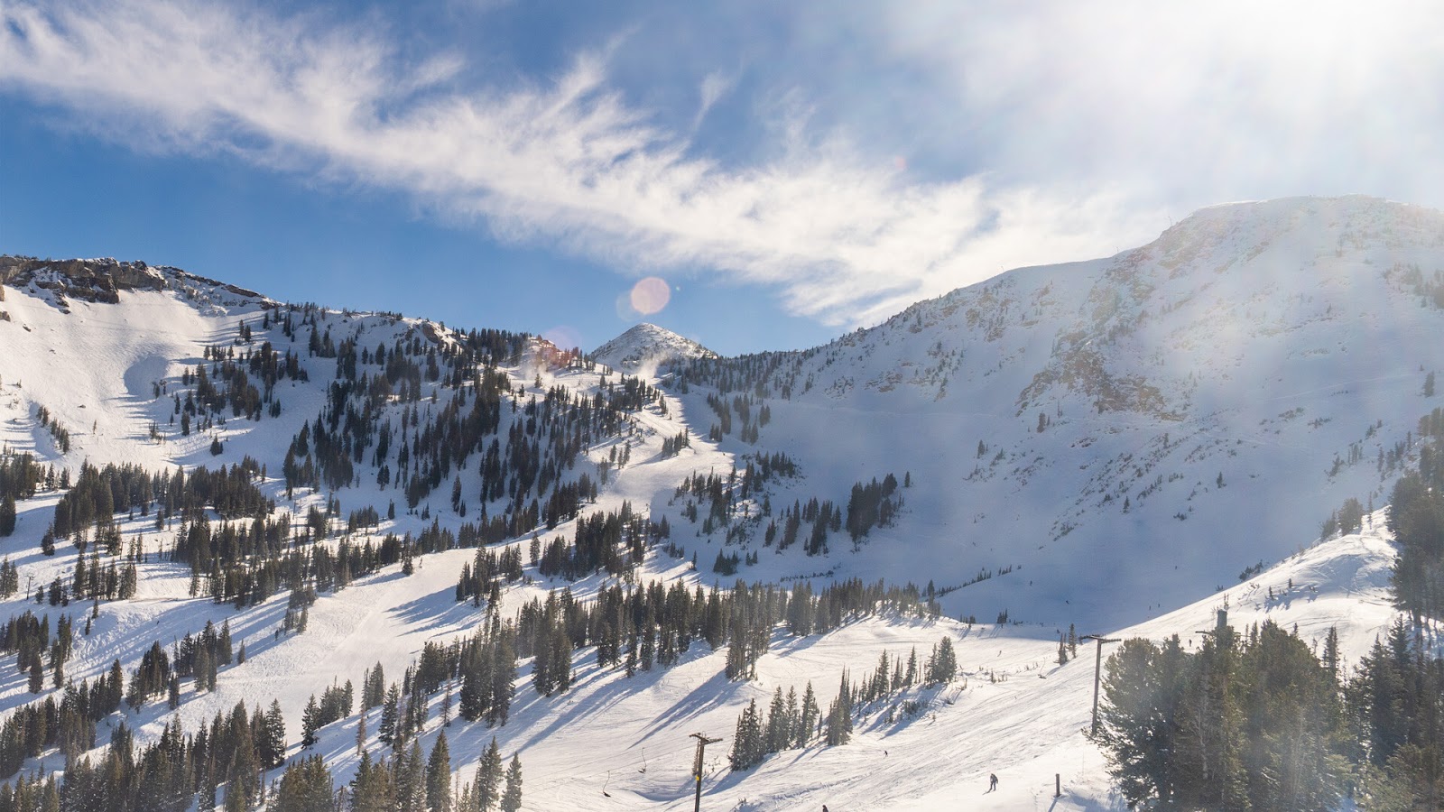
Current mountain conditions are sublime. Mostly clear skies and temperatures in the mid-20s, another great day for skiing. Check the Alta webcam for some more FOMO.
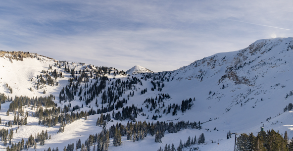
Courtesy: Alta Ski Area
Short term:
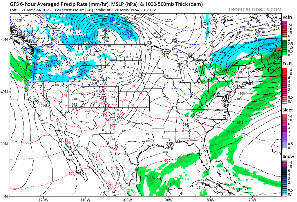
From now until Thursday, expect clear skies and warmer temperatures. Winds will be primarily from the southwest and reasonably strong.
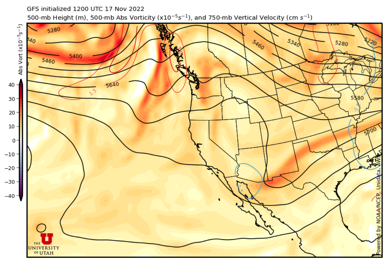
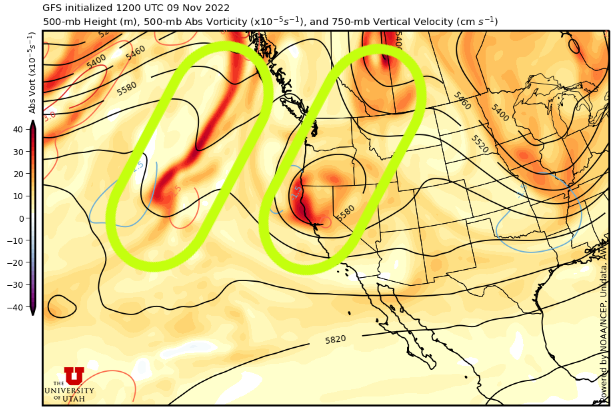
A trough will make its way into Utah Thursday night/Friday morning. This storm has the potential for some more significant snowfall. This storm will approach from the northwest and will be accompanied by a cold front. Take a look at the GFS time-height plot below:

Courtesy: UofU ATMOS
There are a couple of things to note about this plot. Firstly, the post-frontal environment remains relatively moist throughout the day Friday. One thing that this storm lacks is a solid chance for lake effect enhancement. This is primarily due to the flow being primarily westerly, making the lake path too short. The lake effect guidance from the University of Utah suggests a change for Ogden/Bountiful to see potential lake effect (maximum of ~30%).
Currently, the HRRR is giving us 2.3 inches of water in the mountains through Friday at 12pm MST. The LCC guidance is sitting at roughly a foot of snow through Friday. However, I'm going to forecast that snow totals will be higher, 15-18 inches. Maybe it's just wishful thinking. We'll have an even better idea tomorrow.
Long term: