TL;DR: We continue to see temperatures that are anomalously cold, under sunny skies.
Nowcast: As of 11:00 a.m. mountain time, temperatures at mountain crest level remain in in the teens, with base temperatures in the 20s and light winds. Skies are clear. Mountains have not reported any new snowfall since last Thursday (Nov. 10).
 |
| It's a bluebird day at Park City Mountain Resort for the resort's second day of the season (Source: Park City Mountain Resort) |
Short-Term Forecast: A weak cold front will bring a shift in winds from southerly to northerly, and a reinforcing shot of cold air early on Friday. This wave will not bring any precipitation to our region, just cool temperatures and increased clouds at low levels. Notice how in the time height section shown below (where time progresses from right to left), the blue line, which indicates the freezing level, drops quickly on Friday morning and remains very low all day on Friday. This is due to our weak cold front progressing southwards.
 |
| (Source: University of Utah Department of Atmospheric Science) |
For the mountains, this will mean temperatures just above 0 °F on Friday morning.
Mid-Term Forecast: In the wake of this wave of energy, a ridge will redevelop by Sunday, and it will be centered over our region. The black contours in the plot below indicate the height of the 500 mbar level in the atmosphere. The large spacing between those contours in Utah indicates a strong ridge.
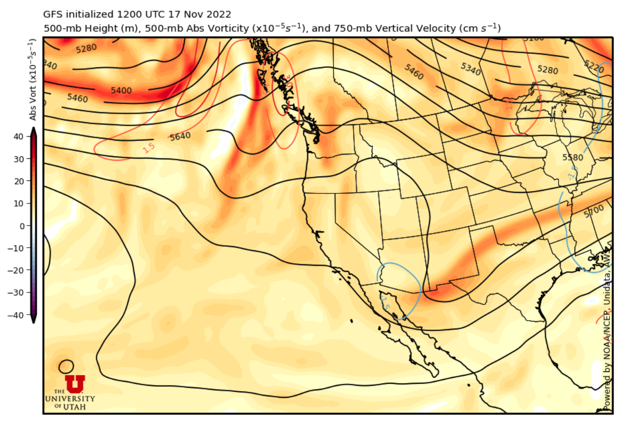 |
| (Source: University of Utah Department of Atmospheric Science) |
This will cause warming temperatures at the end of the weekend and the start of next week. Beyond that, there are signs of a pattern shift, but it is beyond the range of forecast confidence.
Fortunately, we have an excellent base for mid-November, and new resorts are opening each week. Enjoy the great early season skiing!
No comments:
Post a Comment