TL;DR:
The progression of a cold front will bring snow and cold temperatures to the region. Mountain snow accumulations ~15 inches.
Nowcast:
Today we are seeing highs in the mountains near 30°F with high level cirrus clouds associated with the progression of an incoming trough and embedded shortwaves that will be moving their way into our region within the next day. The National Weather Service has issued a Winter Weather Advisory for the Salt Lake Valley, Wasatch range, and the Uintas. Get your skis & snowboards ready cause snow is on the way!
 |
| GOES shortwave IR loop showing the cloud progression ahead of the trough |
Short term:
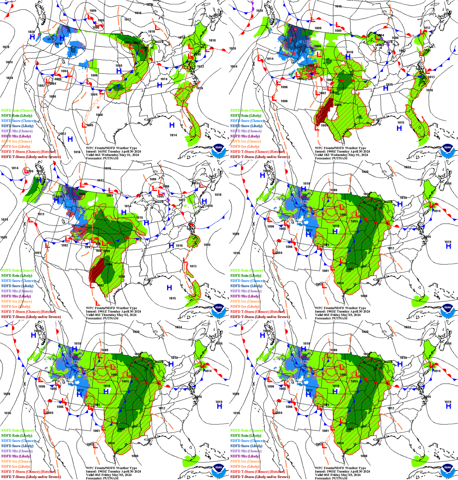
A trough is currently positioned over the Pacific Northwest and will make its way eastward. Multiple shortwaves embedded within the flow that will act to amplify the large scale trough pattern. As the flow progresses, it will continue to deepen, eventually dipping into the state. These shortwaves will act to enhance pre-cold frontal snow in the mountains and the valley.
Snow is expected to begin early Monday morning in the mountains and mid-morning in the valley, ahead of the cold front. Expect periods of heavy snowfall throughout the day in the mountains, as we will see pre and post frontal snowfall. Valley temperatures will stay around the mid 30s tomorrow with sustained wind speeds around 15 mph. Mountain temperatures are expected to be cold, with wind chills around 0°F and winds around 20 mph, potentially gusting to 30 mph. Little snow accumulation is expected in the valley Monday, while the mountains are expected to see around 5 inches.
The cold airmass will move into Northern Utah late Monday, early Tuesday behind the cold frontal passage. Associated with this cold airmass progression, steep lapse rates will increase the potential for orographic enhancement and more snow accumulations. A few more inches of snowfall are expected to accumulate, with continued cold temperatures.
We are expecting to see mountain snowfall totals for this storm around 15 inches, while the valley can expect to see a total of around 1 inch accumulation.
 |
| NOAA WPC Short range forecast - surface analysis |
Long term:
Cold temperatures are expected continue through the week after the trough continues downstream. Another trough passage is possible this Friday, which could result in another round of snowfall.
Backcountry comments:
With snow in the forecast, avalanche danger is expected to increase. Be sure to check conditions before heading out in the backcountry.
If you will be traveling in the backcountry make sure you have the proper equipment and know before you go. For the whole avalanche forecast and all things avalanche head over to our friends at the Utah Avalanche Center.
No comments:
Post a Comment