Thursday, November 30, 2023

Model Spread and Anticipation

 TL;DR:

Potential for a big storm starting tomorrow night, lasting through the weekend with some model spread for the exact precipitation amount. A window of fair weather should follow, with another storm potentially coming in later next week.


Nowcast:


It’s a partially cloudy 16° F balmy day up at mid-mountain today. For those of us in the valley dealing with the air pollution, it looks great up in the mountains.

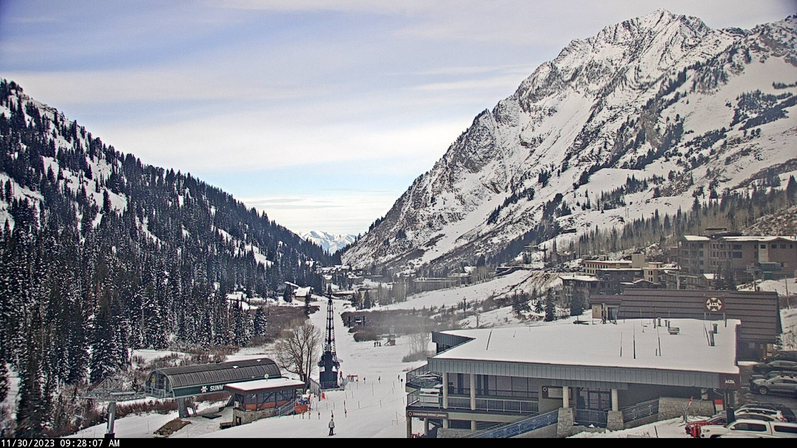
Mount Superior Webcam Courtesy of Alta


Short term:


Using the GFS for guidance, It looks like our next storm will be starting around 11 am on Friday. This storm track seems to hover over Northern Utah through the weekend. A quick look at 700 mb wind barbs shows dominant Westerly - North Westerly flow, favoring some orographic enhancement for our beloved ski areas.


Should be a good storm to hit early as the largest snow-to-water ratio is expected at the beginning of the storm. With temperatures expected to increase throughout the weekend, acting to lower the snow-to-water ratio. A look at the NAEFS plumes shows a large model spread, adding uncertainty to the exact amount of snow we expect to receive. The mean of these plumes is showing around 3 feet of snow by the end of the storm, with most of the accumulation happening from Friday night through Early Sunday.


NAEFS plumes for Alta Collins courtesy of U of U Atmos


Long term:


After this weekend's storm, a ridge will begin building in the Great Basin area, bringing fair weather and warmer temperatures. Make sure to check back in for the latest mountain forecast as we see some potential for another storm later next week!


Backcountry comments:


If you will be traveling in the backcountry make sure you have the proper equipment and know before you go. For the whole avalanche forecast and all things avalanche head over to our friends at the Utah Avalanche Center.


Wednesday, November 29, 2023

WE ARE BACK BABY!

Utah Ski Weather is back for another season of weather wildness and fun. We can't wait to keep you updated with the latest information and snow forecasts!

TL;DR:

    Howdy folks, guess what? Utah Ski Weather is back baby, and we are coming in hot, or cold, whatever you prefer. A storm with great potential is headed our way. Expect 1-2 feet of snow this weekend, with the potential for some snow in the valley.  


Nowcast:

            With a strong temperature inversion down in the valley you can escape to clearer air up in the mountains where it is shaping up to be another beautiful day. Although today may start cold in the upper teens around mountain bases, temps will stretch to the upper twenties with light W, SW winds, making for excellent skiing weather. If you’re looking for the sun, you will find it in patches as broken clouds move across the Wasatch.


 Check out this beautiful timelapse from the Albion Basin last night courtesy of Alta.


Short term:

     Utah currently sits in a small ridge that is aiding in the inversion conditions and poor air quality. Yet, fear not, your thanks from last week are paying off as a shortwave trough sets up off the coast of the NW. Through today and into tomorrow the small ridge we sit under will move easterly bringing moister and cooler air our direction. We will see dropping temperatures with the freezing level dropping down to the lower foothills by late tonight.


Highlighted in green is the small ridge that has settled over Utah through the start of this week, this will move eastward in the next 36 hours or so. Highlighted in yellow is the shortwave trough that will bring us favorable upper-level dynamics, moisture, and eventually the POW POW. Credit: University of Utah Atmospheric Science.


Long term:

            Looking to the end of this week through the weekend we are in for the goods. Late Thursday night the trough off the NW coast will move inland and arrive here in Utah. Flurries will begin to fall late Thursday night to kick off the storm. With favorable upper-level dynamics, the snow will fall through the weekend. With low freezing levels, some snow in the valley can be expected. It will be interesting to see how this storm performs as the models show a wide spread of results ranging from five inches to 90”! That said, the Wasatch Front and northern Wasatch should expect at least an additional 1-2 feet from this storm system. Given the NW flow of this system, the possibility of lake effect snow exists yet may favor the Northern Wasatch.

    For a better understanding of the timing of this storm system see Jim Steenburgh's Little Cottonwood guidance below. We can expect snow to begin late Thursday night with the strongest snowfall happening midday Friday. The snow picks up again through Saturday during what will be the coldest period of this system. As the temperatures climb on Sunday snow will continue although may be wetter as during this period we will see the lowest snow-to-liquid ratios. 


Credit: University of Utah Atmospheric Science


Backcountry comments:

If you will be traveling in the backcountry, make sure you have the proper equipment and know before you go. For the whole avalanche forecast and all things avalanche head over to our friends at the Utah Avalanche Center.