TL;DR:
Snow will make a return after a quiet and warm week.
Nowcast:
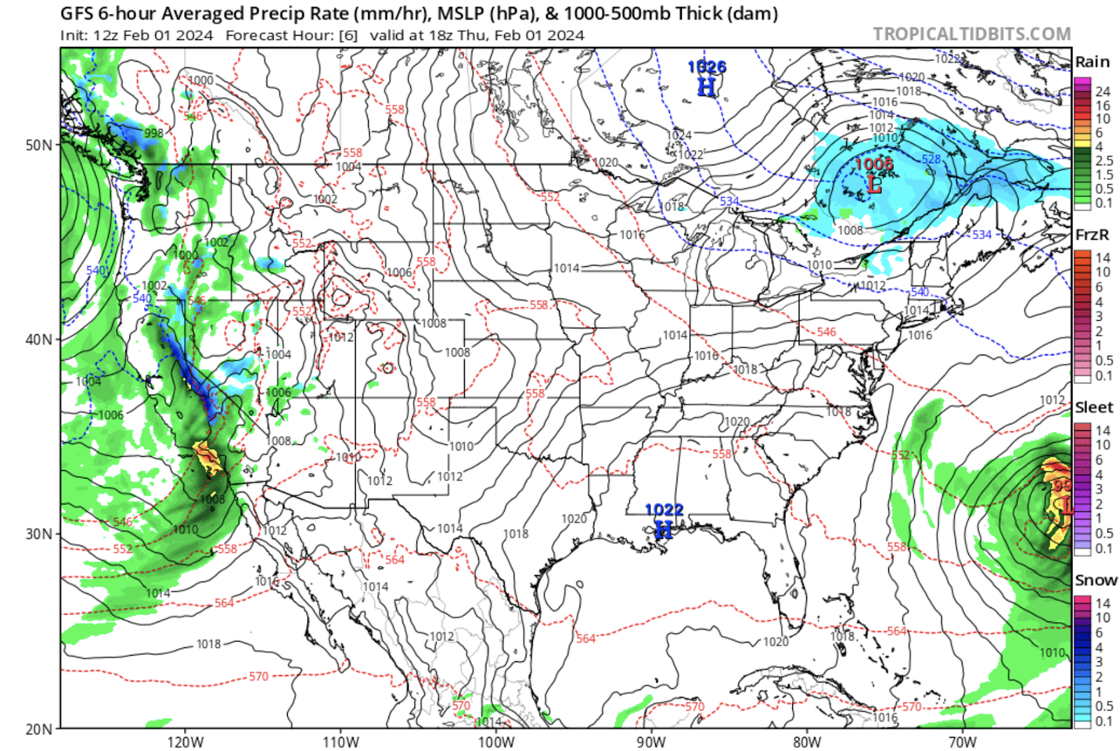
tropicaltidbits.com
As of the writing of this post, it is cloudy with precipitation moving in from the west. The Sierra Nevadas could get hit with multiple feet of snow from an atmospheric river. This precipitation will move into the area starting on Friday. Temperatures are warmer than average with base temperatures of 37 degrees being reported. It is currently 27 degrees at 10,000 ft.
Short term:
Snow should begin falling later today and should continue producing snow throughout the weekend. About 5-8 inches of snow can be expected from this system before the next system moves in early next week. Temperatures will also fall to values closer to climatological averages.
Long term:
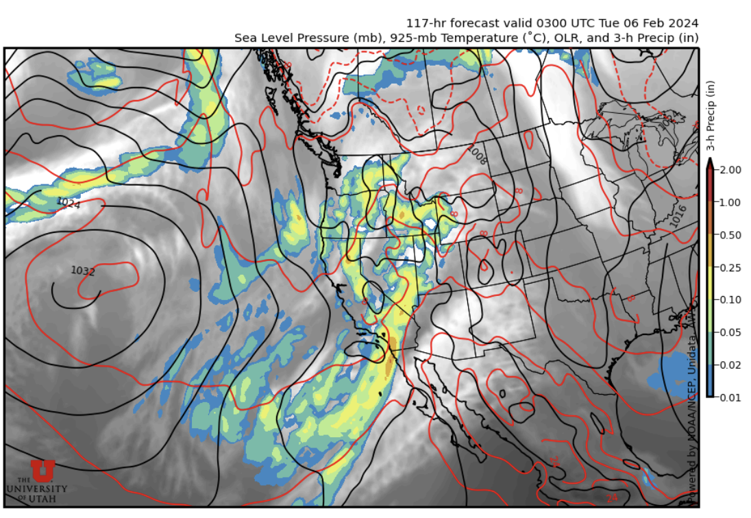
weather.utah.edu
Another atmospheric river is forecast to impact California. This precipitation should spread inland early next week and will result in accumulating snow in the mountains. It is too early to tell how much snow can be expected but there is guidance that suggests the system will produce precipitation over a few days.
Backcountry comments:
If you will be traveling in the backcountry make sure you have the proper equipment and know before you go. For the whole avalanche forecast and all things avalanche head over to our friends at the Utah Avalanche Center.
No comments:
Post a Comment