TL;DR:
Colder temperatures and overcast conditions today. Chance for a small amount of precipitation by tomorrow night and a longer dry period throughout the week.
Nowcast:
Taking a look at the Deer Valley weather station data, we can see temperatures below freezing in the Wasatch Back, with some pretty significant wind chill effect at upper-level locations, bringing the temperatures down an additional 10°C.
Courtesy DeerValley.com
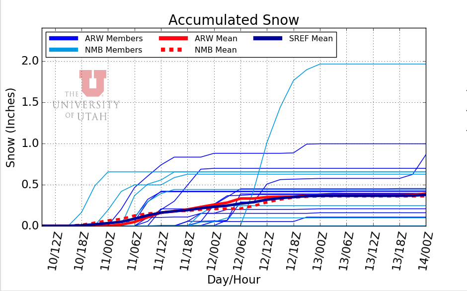
Short term:Fairweather is going to be the name of the game for the next little bit. Resort employees are working to open more terrain as the new snow settles in. A subtle shortwave trough could bring some light precipitation to Northern Utah by Monday Night.
As of now, models are showing a cutoff low forming in south-central Utah and Northern Arizona by Wednesday midday. I don't expect any large precipitation events in the next week, but large-scale subsidence to our North should bring in some cooler temperatures through mid-week. As always, check back in for the latest forecast for the latest update here at Utah Ski Weather.
Backcountry comments:
If you will be traveling in the backcountry make sure you have the proper equipment and know before you go. For the whole avalanche forecast and all things avalanche head over to our friends at the Utah Avalanche Center.


No comments:
Post a Comment