TL; DR:
Rain today in the valleys, switching to snow overnight. Mountains will receive up 4-8 inches in the next 24 hours. Precipitation in Southern Utah on Wednesday. More to come for the state next weekend.
Nowcast:
Rain in the valley this afternoon, with the potential to switch to freezing rain, and possibly light snow accumulations overnight. Be wary of freezing rain later this evening! While the mountains will see accumulations of about 1-2” today and another 3-4” tonight. Canyon highs just above freezing today, with southwesterly winds of about 20 mph, accompanied by some slight gusts.
Short term:
 |
| Short-Term Forecast (WPC) |
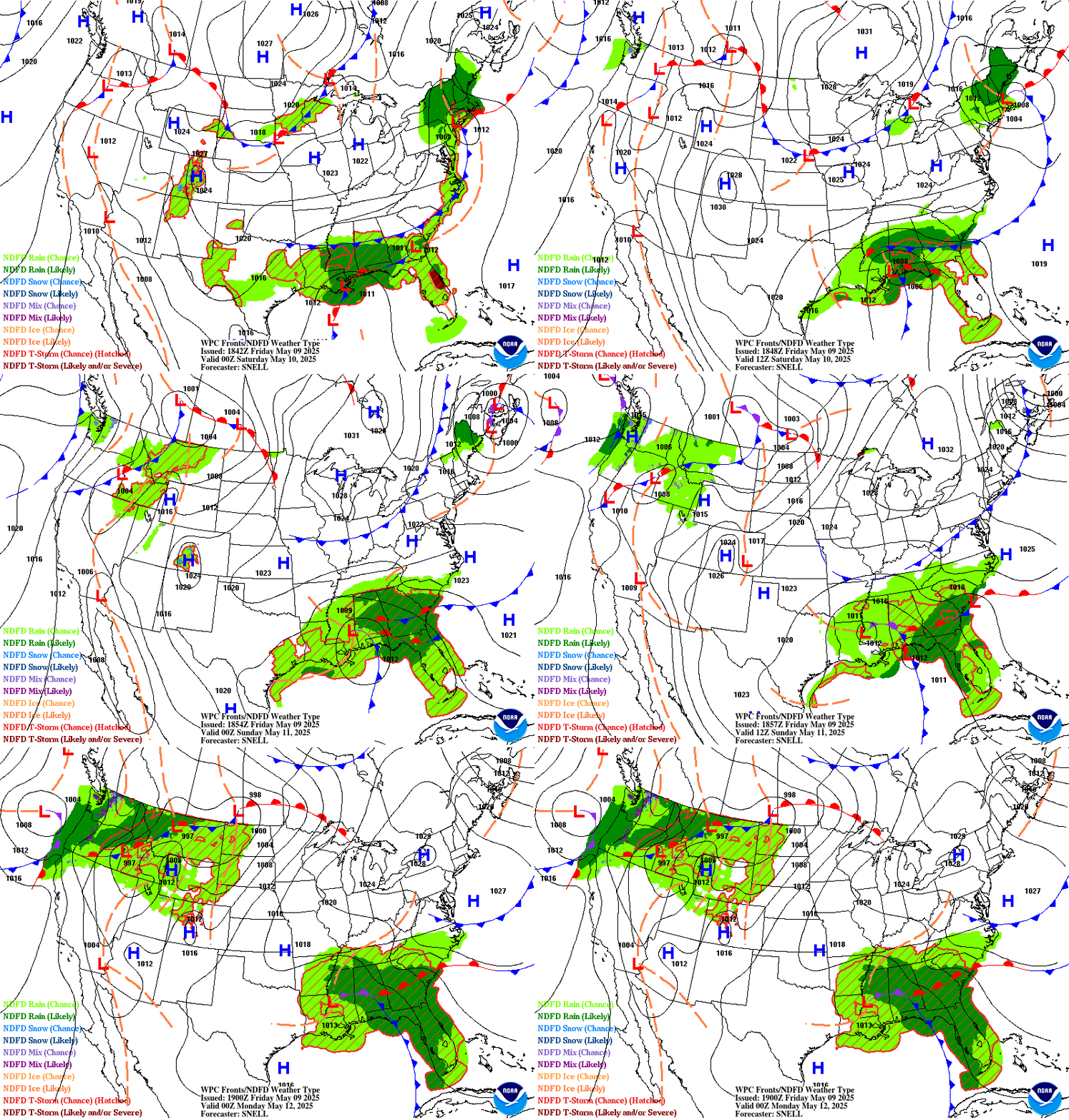
A weak shortwave is passing through today, bringing our rainy/snow mix. This wave is uncoupled with the warmer temperatures aloft, and as a result, will stall along the I-80 corridor. This will allow for the northern parts of the state to accumulate more snow, 4-8 inches with prolonged lighter rates.
Long term:
 |
| An exciting preview for next weekend from U ofU Atmos |
The larger trough associated with today’s shortwave will swing through Southern Utah on Wednesday, bringing mixtures of rain and snow depending on temperature, to the region. A deeper trough is expected to come through early next weekend, likely bringing more snow. Stay tuned!
Backcountry comments:
There have been several recent natural and human-caused slides recently. There is currently CONSIDERABLE avalanche danger on “all mid and upper-elevation steep slopes where hard slabs of snow can break 1-4' deep and hundreds of feet wide, failing on a persistent weak layer of faceted snow” per the Utah Avalanche Center.
If you will be traveling in the backcountry, make sure you have the proper equipment and know before you go. For the whole avalanche forecast and all things avalanche head over to our friends at the Utah Avalanche Center.
Unrelated side note: check out the Mauna Loa eruption!
No comments:
Post a Comment