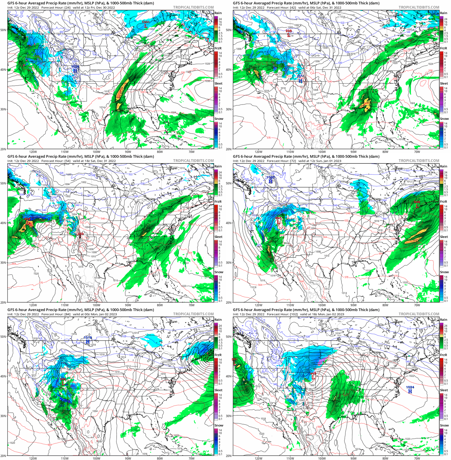
TL;DR: Skies are clearing and winds are calming as we see a brief period of high pressure today before a long-term storm system rolls in Friday morning, lasting through the weekend and into next week. Snowfall totals for Wasatch resorts are expected to potentially reach 60" by Sunday as an atmospheric river is pumping moisture into the area.
Nowcast: We are currently seeing mostly sunny conditions with a high in the upper teens today. Winds are currently out of the southwest and will calm down during midday. Winds are expected to pick up tonight into tomorrow. Ridgelines at 9000' will see winds of 5-15 mph with gusts <25 mph and ridgelines at 11000' will see winds of 15-25 mph with 40 mph gusts. Cloud cover will increase by tonight as the storm approaches.
Short-Term (through Sunday): Expect snowfall to kick off Friday morning around 11 am. Warm air advection will raise Wasatch resort's daytime highs to the mid 20s and raise freezing levels for the valley which will see a mix of snow and rain. Wasatch resorts will see a steady and intense amount of snowfall lasting into Sunday morning reaching totals near 60". On Sunday a cold front will pass which will drop freezing levels back down to the valleys. The timing of the cold front passage is uncertain at this point.


No comments:
Post a Comment