TL;DR:
The vast majority of the snow has already fallen, future forecasted storms will bring small amounts of snow. Couple inches over the weekend.Nowcast:

Map of avalanche risks https://utahavalanchecenter.org/
After the past days of intense snowfall, especially with yesterday's dumping, we finally get to some calm weather today. Currently 39 degrees at the SLC airport with no wind at all. Expect these conditions to last throughout the day with clear skies, perfect weather to get out into the mountains! Although, be careful with any backcountry skiing, as avalanche risk is high today in the Wasatch back due to the recent snowfall.
Short term:
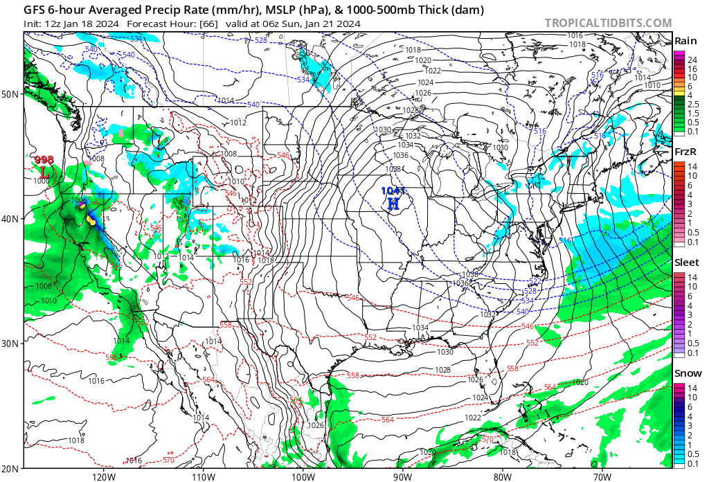
Over the next couple days, expect warm and dry conditions as a ridge builds over Utah. Towards Saturday night and early Sunday morning, we should get another trough bringing some isolated snow showers to Utah. I'm not sure exactly how much snow we'll get, but it most likely won't be near the previous amounts of snow we've gotten lately.
Long term:
Backcountry comments:
If you will be traveling in the backcountry make sure you have the proper equipment and know before you go. For the whole avalanche forecast and all things avalanche head over to our friends at the Utah Avalanche Center.
No comments:
Post a Comment