TL;DR:
Storm affecting the West Coast, does not look like it will cause a lot of accumulation here
Nowcast:
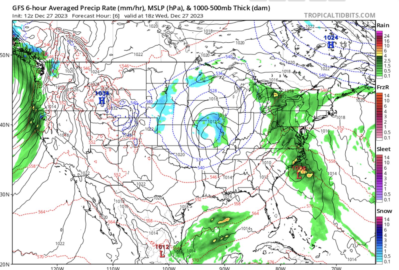
tropicaltidbits.com
The high pressure system remains in control over Utah today. There is a trough and associated low pressure system over the West Coast, which is mostly bringing rain to coastal areas in the PNW. A system is also bringing some mild snow accumulations to the Plains. As of 8 AM today there was an inversion on the mountain, with temps at 18 degrees at 8,500 ft, and temps of 21 degrees on the mountaintops.
Short term:
Model runs unfortunately show that the system bringing precipitation to the PNW will not survive inland. Small accumulations with this are possible but it does not seem like it will be anything notable. High pressure and generally clear skies will be the norm as the high pressure system will stay in the area for the rest of the week.
Long term:
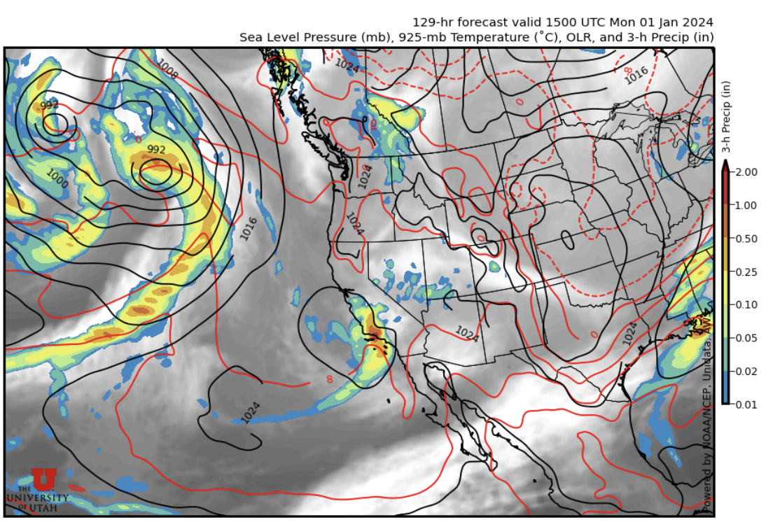
weather.utah.edu
The next storm is forecast to affect the West Coast over the weekend. There is the possibility for it to bring moisture and associated snowfall early next week. Stay tuned for an updated forecast on the next potential snowfall here!
Backcountry comments:
If you will be traveling in the backcountry make sure you have the proper equipment and know before you go. For the whole avalanche forecast and all things avalanche head over to our friends at the Utah Avalanche Center.
No comments:
Post a Comment