TL;DR:
With favorable conditions shaping up, buckle down for lots of snow through the first half of this week. HERE, WE, GO!
Nowcast:
With only 7" so far from this storm we are off to a slower-than-expected week, that being said, fear not there is more snow on the way. It has been snowing throughout the day today in the cottonwood canyons with temperatures in the low twenties, dipping to the upper teens around the mountain tops. Winds are blowing out of the West around 20-30 mph, keep an eye out for blowing snow as the storm rages on. The snow will continue through tonight until around midnight when the storm will settle.
Through today and into this evening a trough is digging off the west coast. As a result of the orientation of the trough, the westerly upper-level flow will prevail. Accompanying that flow is a strong band of moisture that lies slightly south of Utah.
Short Term:
Tuesday will bring a slight break in the storm with moisture being the limiting factor. Northern Utah may see some scattered showers but nothing significant. Down in Southern Utah however, some snow may fall with the injection of moisture as well as some strong vorticity advection creating an optimal environment for snow.
Yet, you Northern Utah dwellers get ready as the storm will start back up Tuesday afternoon and evening as the moisture surge will reach into the Northern stretches of the state. Snow totals range up to an additional 5-8" by midnight before the storm really starts to kick.
.png)
The maps above are valid at 1500 UTC Tuesday (11:00 am). This is just prior to when the storm will kick back into action. In the bottom right and bottom left the moist and dry areas are highlighted. Note that southern Utah will be significantly moister, this will be favorable for the La Sal Mountains along with those Southern ski areas. In the top right map take note of the significant area of strong upper-level vorticity and the location of Utah relative to the trough. Note that as a result of this orientation significant vorticity advection will be brought to Utah, accompanying the cool temperatures will make for excellent upper-level dynamics to be in place for Wednesday.
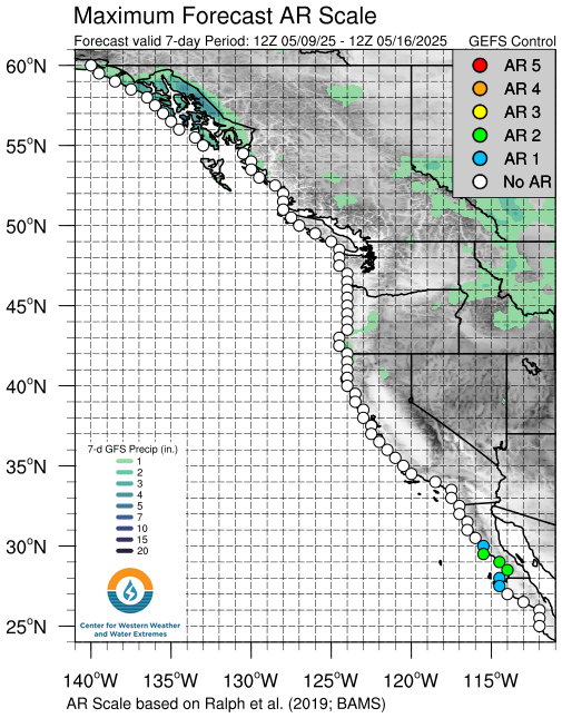
Long Term:
Looking to Wednesday the upper-level flow will shift to a more Southwesterly flow helping to bring more significant moisture levels helping to classify this as a low-level atmospheric river event (AR 1/2 along the Wasatch front). The moisture accompanying the cool temperatures and favorable upper-level dynamics will result in some significant snow totals. Areas of the Wasatch Front could receive nearly 2 feet of snow with isolated areas in the upper alpine receiving nearly 2.5-3 feet. In Southern Utah similar totals are possible by the end of the storm.

U of U Atmospheric science
If you plan to travel in the backcountry know before you go and have the proper equipment. Avalanche conditions will be heightened this week with the addition of lots of snow and a prolonged period of wind that will have the ability to blow snow. Consult our friends over at the Utah Avalanche Center for the full avalanche forecast and observations.
No comments:
Post a Comment