TL;DR:
Today in the mountains we have sunny skies at high elevation with low hanging clouds, and brisk temperatures. A chance for light accumulation tomorrow, and then we have an extended period of dry weather to follow up.
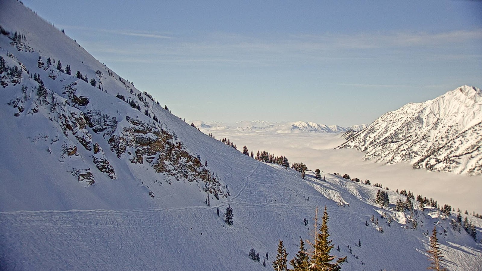
Photo Courtesy of Alta.com
Nowcast:
Temperatures are in the mid teens in the mountains with moderate winds out of the West. It looks like a bluebird day up in the mountains so enjoy the sun before the snow comes back.
Short-Term:
A quick low pressure system is going to hit Utah beginning tomorrow morning, and will last through the day. Accumulation will be light and shouldn't exceed 5 inches across the Wasatch Range. All we can hope for is another storm that overproduces. After Sunday we begin to clear out and move into stable conditions.

High pressure is going to take control next week and should have the upperhand through the end of the month. There is a slight chance that Northern Utah will get brushed by a system Wednesday into Thursday so that is something to keep your eyes on. After all this snow the Wasatch could use a little break, but don't fret snowy conditions will be back by the beginning of February.
Backcountry comments:
If you will be traveling in the backcountry make sure you have the proper equipment and know before you go. For the whole avalanche forecast and all things avalanche head over to our friends at the Utah Avalanche Center.
-Ben
No comments:
Post a Comment