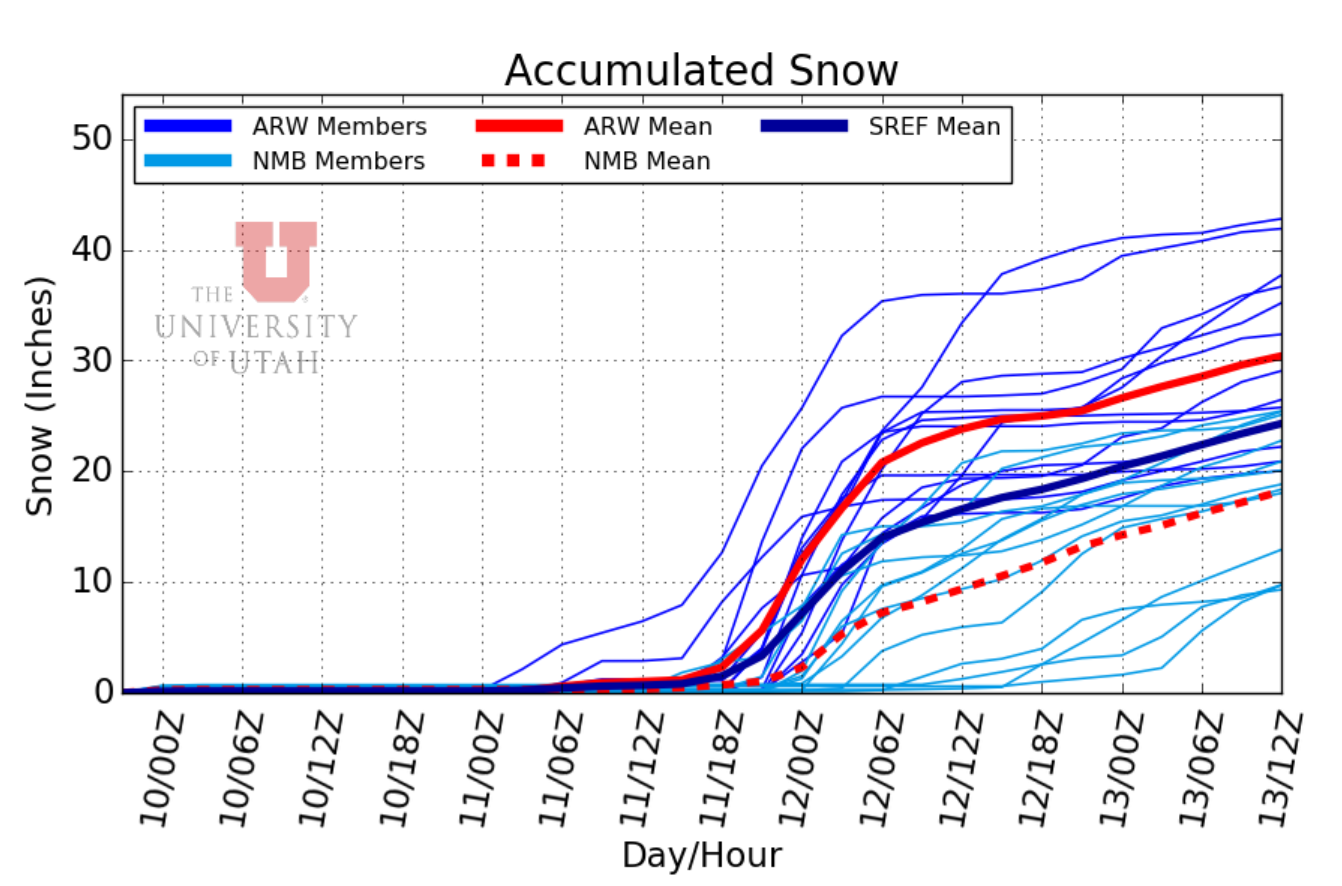
TL;DR: Saturday will see a short period of high pressure while a trough is digging its way into the Great Basin and plotting to hit Wasatch ski resorts with substantial snowfall beginning Sunday morning and lasting through next week (expected snowfall: 18"-24" through Tuesday). Southerly winds will bring warm air advection into the region with gusty conditions Saturday and Sunday.
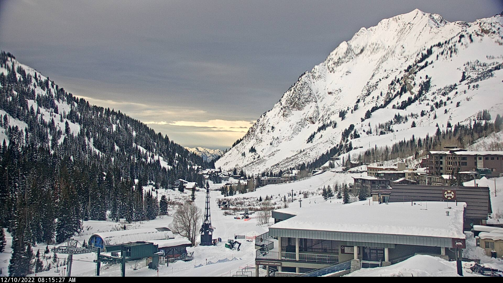
Nowcast: Temperatures will be in the upper 20s to low 30s today with cloud cover expected to increase throughout the day. Ridgelines at 9000' will see 15-25 mph sustained southerly winds with 35 mph gusts. Ridgelines 11,000' will see 30-40 mph sustained southerly winds and gusts around 65 mph. Expect windspeeds to strengthen throughout the day.
Short-Term Forecast: Sunday will see the beginning of the storm which is expected to hit around 11 am. The most intense period of snowfall is expected to be throughout Sunday with snowfall rates weakening into next week. Temperatures will be in the mid 20s with winds similar to Saturday. Temperatures will begin to drop after Sunday.
Long-Term Forecast: Low Pressure will persist in the region into next week with slow progression. Models are currently not in good agreement after Tuesday when a cutoff low moves into the area. Chances of snowfall are expected to continue through Tuesday and possibly into Wednesday morning. Winds will shift to westerly flow on Monday and daytime high temperatures are expected to drop throughout the week. Snowfall totals for this storm are expected to be 18"-24" for Wasatch resorts.
Visit UAC for your local avalanche forecast if you plan to travel into the backcountry.


No comments:
Post a Comment