TL;DR
Friday morning commutes will be heavily impacted beginning around 4 am and potentially maintaining snowfall until 11 am. Heaviest snowfall around 8 am. Snowfall totals are upwards of 10” - 25” in the mountains and 3” - 8” in the benches and valley. If you live anywhere in Utah you most likely are under some type of winter weather watch, warning, or advisory. See info from the NWS below.
 |
| SLC, NWS |
Nowcast:
Strong SSE winds with gusts 60 - 70+ MPH due to strong pressure gradients ahead of the front. Today’s high temps are in the low 30s with light snowfall 1” - 2”.
UPDATE: Brighton closed due to 90+ MPH winds.
 |
| Salt Lake Valley |
Short Term:
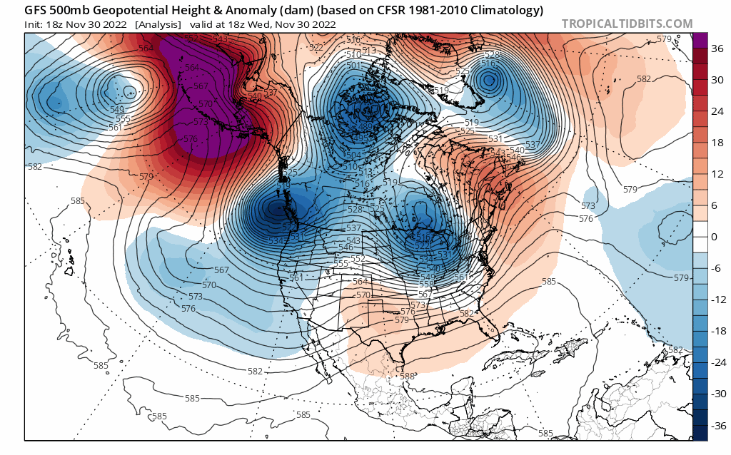
A cold front will be passing through late Thursday night bringing strong winds throughout the day on Thursday and into Thursday night, continuing Friday morning accompanied by snowfall. Accent following the head of the trough will bringing heavy snowfall will follow the front 2 - 4 hours behind its initial passage, bringing the heaviest snow during morning rush hour. Snowfall between 4:00 AM and 7:00 AM could be as heavy as 4” per hour near the benches and 12” in the mountains. Potential for thundersnow in Northern Utah as the front moves toward SLC.
 |
| Alta-Collins, weather.utah.edu |
 |
| Salt Lake City, weather.utah.edu |
Long Term:
I'm not seeing great post frontal unstable & moist flow that would lead to good orographics, up to 25" seems like a stretch but hope it happens. To me it looks like more of a general 8-12" storm for the Wasatch with local 13-18" possible...
ReplyDeleteExciting forecast! We'll see how it plays out
ReplyDelete